Analyzing images from an eagle’s eye view can give us unique insights to better understand large areas that need monitoring, assessing environmental impacts and analysis for a number of industrial use cases. Mapping and modelling techniques applied to aerial imagery have huge potential in areas such as agriculture, climate, wildlife habitats, and more [link].
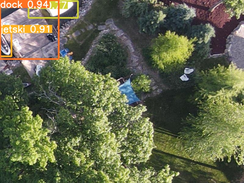
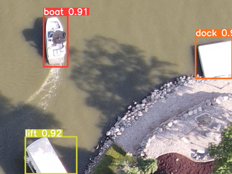
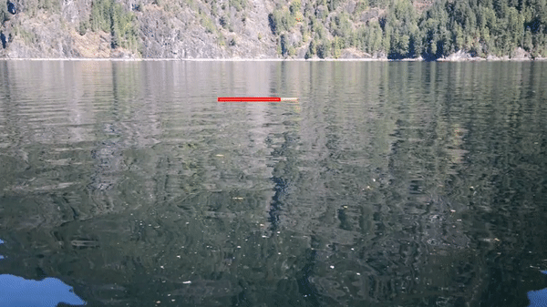
As a side project, I have explored the application of Computer Vision techniques to perform some detection and counting tasks which could be useful for industrial applications, such as in forestry and marine environmental monitoring.
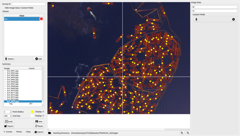
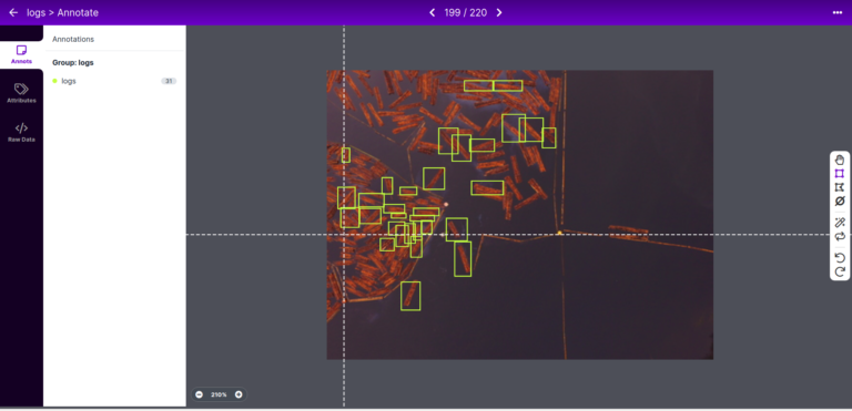
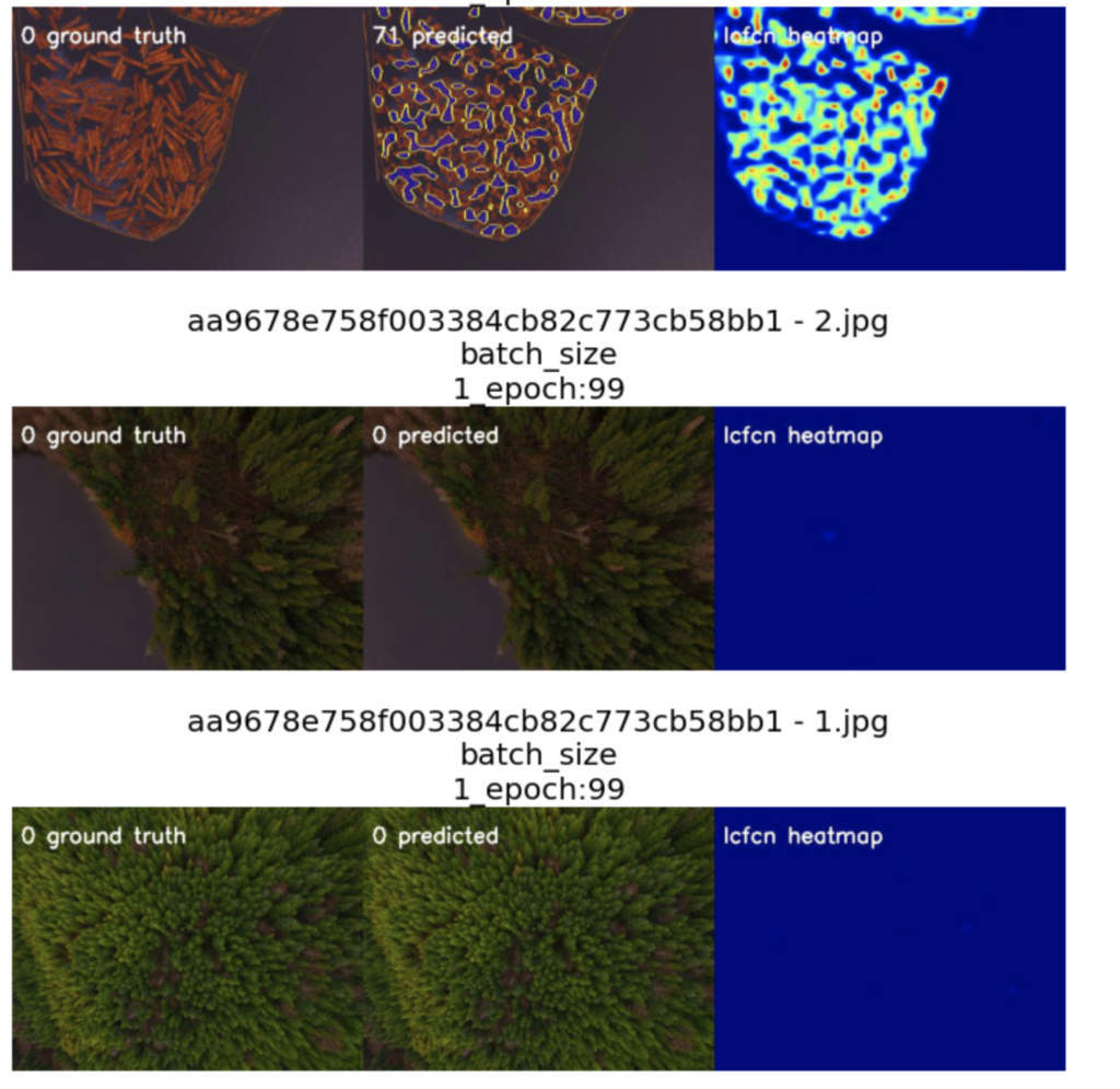
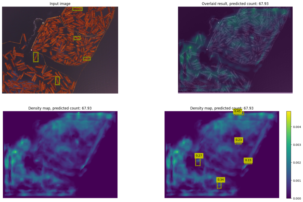
Below are some results from an effort to solve the problem of automated counting for bundles of logs scattered over land and/or water at logging sites located in northern BC.